

How do you check natural hazard risk for a Pierce County home?
Look up the exact address on the FEMA Flood Map Service Center for flood zones, the Washington DNR Geologic Information Portal for landslide, liquefaction, and volcanic hazard layers, and the USGS Mount Rainier hazard maps for lahar zones. Then read the seller’s Form 17 disclosure for past flooding, drainage, or settling, and ask your insurance agent for flood and earthquake quotes during your inspection period. Hazard maps are planning tools — they don’t predict what will happen to a specific home.
Pierce County has a lot going for it — mountain views, rivers, trails, and room to spread out. It also sits in the shadow of an active volcano, along several rivers, and in one of the most seismically active regions in the country.
None of that should scare you away. Thousands of families live comfortably in every corner of the county. But every buyer should know what to check, where to check it, and what it means for insurance and resale.
Here’s the process I walk relocating buyers through. For community guides and local resources, visit our Pierce County community resources hub.
The four hazards to check
1. Flooding
The Puyallup, White, Carbon, and Nisqually rivers and their tributaries drain much of the county. Some properties near rivers and creeks fall within FEMA Special Flood Hazard Areas — the “100-year floodplain.”
Why it matters: If a home is in a Special Flood Hazard Area and you use a federally regulated or insured mortgage, your lender will require flood insurance. That’s a real monthly cost to budget for.
Where to check:
- FEMA Flood Map Service Center (msc.fema.gov) — search the address and view the flood zone
- Pierce County’s flooding resources and GIS maps
- The city’s planning department for local floodplain rules
2. Volcanic hazards and lahars
Pierce County notes that lahars — fast-moving flows of mud and debris — are the main volcanic hazard from Mount Rainier. USGS maps show lahar hazard zones extending down river valleys, including parts of the Puyallup and Carbon river valleys where communities such as Orting and portions of Sumner and Puyallup sit.
Why it matters: Lahar risk generally doesn’t change your mortgage requirements, but it’s worth knowing your evacuation route and how the county’s lahar warning system works.
Where to check:
- USGS Mount Rainier volcanic hazard maps
- Washington DNR Geologic Information Portal (geologyportal.dnr.wa.gov) — natural hazards layers
- Pierce County Emergency Management — evacuation routes and lahar preparedness
If you’re looking in the valley, our Orting community page covers housing and daily life there.
3. Landslides and steep slopes
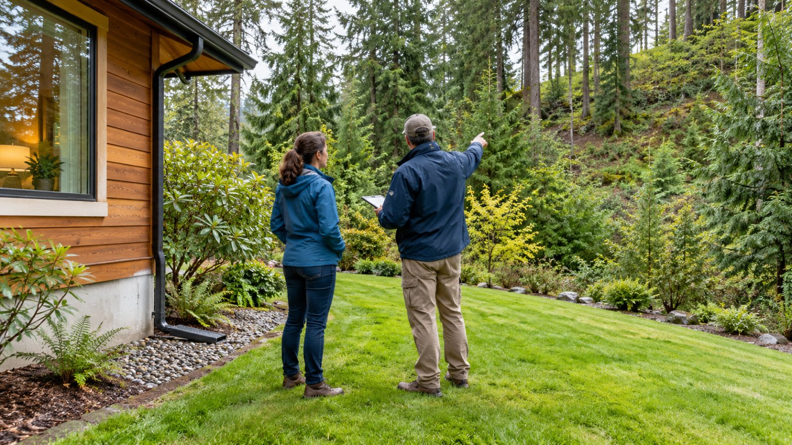
Bluffs, ravines, and hillsides — from Gig Harbor’s shoreline to slopes around Puyallup and Bonney Lake — can carry landslide hazard designations. Pierce County maps landslide hazard areas and regulates building near them.
Why it matters: Slope issues can affect drainage, future additions, septic placement, and the cost of repairs. Standard homeowner’s policies generally exclude earth movement.
Where to check:
- Washington DNR Geologic Information Portal — landslide inventory and susceptibility layers
- Pierce County landslide hazard area maps and critical areas regulations
- A geotechnical engineer if the home sits on or near a steep slope
4. Earthquakes and liquefaction
Western Washington faces earthquake risk from deep quakes, shallow faults, and the Cascadia Subduction Zone. Soft, saturated soils in river valleys can be prone to liquefaction — where shaking makes the ground behave like liquid.
Why it matters: Standard homeowner’s insurance generally does not cover earthquake damage. Earthquake coverage is usually a separate policy or endorsement with its own deductible.
Where to check:
- DNR Geologic Information Portal — liquefaction susceptibility and fault layers
- Your inspector — ask whether an older home is bolted to its foundation and whether the water heater is strapped
Wildfire is worth a look too, especially on wooded or rural acreage. Ask about defensible space and roof materials, and check insurance availability early. Our guide to buying acreage in Pierce County covers rural property checks.
Step-by-step: how to check a specific address
- Before you write an offer, run the address through FEMA’s flood map and the DNR portal. It takes about 10 minutes.
- Read the seller’s Form 17. Washington’s disclosure asks about past flooding, standing water, and drainage problems; floodplains and critical areas; settling or sliding; and damage from floods, earthquakes, or landslides. Here’s how to read Form 17.
- Get insurance quotes during your inspection period — homeowner’s, flood if applicable, and earthquake if you want it. Surprises here should change your offer, not your closing.
- Ask your inspector about grading, drainage, foundation, and signs of past water.
- Bring in specialists when the maps or inspection raise questions — a geotechnical engineer for slopes, a drainage contractor for water issues.
- Know your evacuation route if you’re in a mapped lahar or flood area.
How to keep risk in perspective
Hazard maps describe areas, not individual outcomes. A home in a mapped zone may have been built or elevated to reduce risk, while a home just outside a line may still have drainage issues.
That’s why I focus on address-level facts — the flood zone, the elevation certificate if one exists, the slope, the inspection findings, and the insurance quote. When comparing areas, our guide to comparing Pierce County communities helps you weigh hazards alongside commute, housing, and daily needs.
Frequently Asked Questions
How do I find out if a Pierce County home is in a flood zone?
Search the address on the FEMA Flood Map Service Center at msc.fema.gov, and review Pierce County or city floodplain maps. Also read the seller’s Form 17 disclosure, which asks about floodplains and past flooding or drainage problems.
Is Orting in a lahar zone?
USGS hazard maps show lahar hazard zones extending down the Puyallup and Carbon river valleys, which include Orting and parts of nearby communities. Check the specific address on USGS and Washington DNR maps, and learn the local evacuation routes.
Do I need flood insurance in Pierce County?
If a home is in a FEMA Special Flood Hazard Area and you finance with a federally regulated or insured mortgage, your lender will require flood insurance. Outside those zones, it’s optional but can be worth pricing, especially near rivers or creeks.
Does homeowner’s insurance cover earthquakes in Washington?
Standard homeowner’s policies generally exclude earthquake damage. Earthquake coverage is usually available as a separate policy or endorsement with its own deductible, so ask your insurance agent for a quote.
What does Form 17 tell me about natural hazards?
Washington’s seller disclosure asks about flooding, standing water, drainage, floodplains and critical areas, settling or sliding, and past damage from floods, earthquakes, or landslides. It reflects what the seller knows, so pair it with your own map research and inspection. Washington is updating the disclosure statement effective January 1, 2027.
Buy with your eyes open
Every part of Pierce County has tradeoffs. The buyers who feel most confident are the ones who checked the address, read the disclosures, priced the insurance, and made their decision with real information.
If you’re planning a move to Pierce County, text RELOCATE to 253-677-5765 for a personalized consultation. I’ll help you compare areas, check the property-level details, and plan a purchase you feel good about.
About Josh Barnard
Josh Barnard is the founder of The Barnard Group and has spent over 20 years helping families navigate some of life’s biggest moments through real estate. Known for his “Work Hard. Be Kind.” approach, Josh combines expert market knowledge, innovative marketing, and genuine care to help homeowners make confident decisions about their next chapter. Whether someone is buying their first home, moving up, downsizing, or relocating to Pierce County, his mission is simple: serve people well, create unforgettable experiences, and help families build a life they love.
Researched October 4, 2026. Hazard maps are planning tools and change over time. Confirm insurance requirements with your lender and insurance agent. This is general information, not engineering or legal advice.